


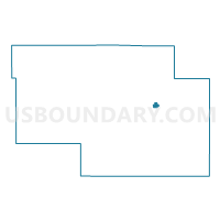
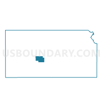
Larned Ward 1, Pawnee County, Kansas
About
Outline

Summary
| Unique Area Identifier | 586254 |
| Name | Larned Ward 1 |
| County | Pawnee County |
| State | Kansas |
| Area (square miles) | 0.62 |
| Land Area (square miles) | 0.62 |
| Water Area (square miles) | 0.00 |
| % of Land Area | 100.00 |
| % of Water Area | 0.00 |
| Latitude of the Internal Point | 38.18931560 |
| Longtitude of the Internal Point | -99.09482660 |
Maps

Graphs
Select a template below for downloading or customizing gragh for Larned Ward 1, Pawnee County, Kansas


Neighbors
Neighoring Voting District (by Name) Neighboring Voting District on the Map
- Larned Township Voting District, Pawnee County, KS
- Larned Ward 2, Pawnee County, KS
- Larned Ward 4, Pawnee County, KS